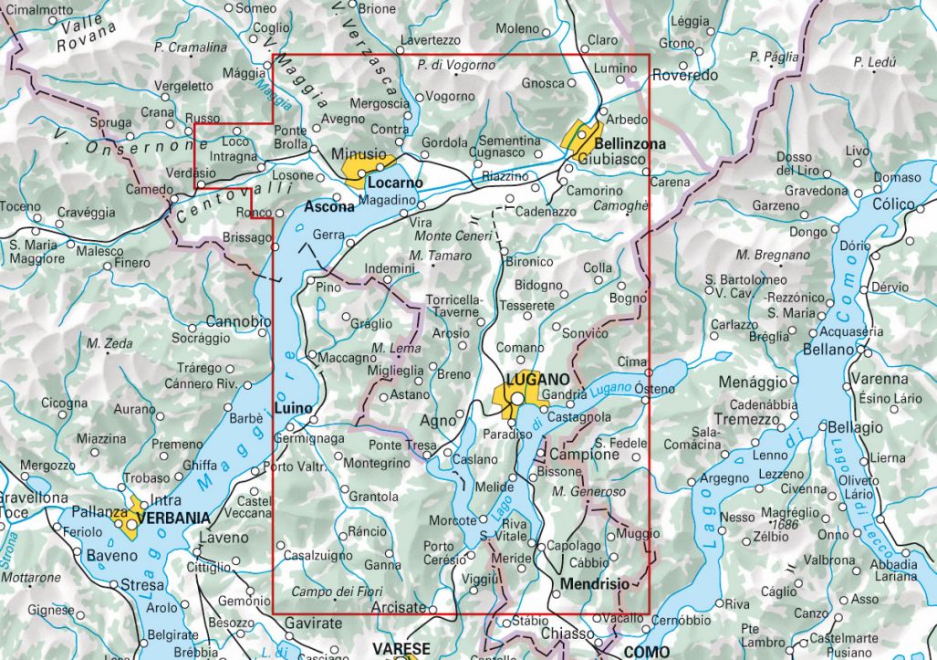
Hiking maps with tour suggestions
A new kind of product: Map at a scale of 1:50 000 with 33 walking tours
Map, guide and pictures – All in One
These hiking maps on water- and tear-resistant paper present attractive suggestions and provide a quick overview of the planned tour. In cooperation with Geo-Tracks, we have incorporated everything worth knowing about the most beautiful hiking regions in Switzerland into these maps: Important information about altitude profiles, hike times, restaurants, buses and much more! Another highlight is that you can download your map onto your smartphone free of charge. Thanks to the GPS-accurate position on the map, you always know exactly where you are.

Free shipping in Switzerland*
20% discount for 3 items
* Except for bulky good deliveries (posters)
Digital maps
PLAN, DISCOVER, EXPERIENCE - on the web and mobile!
Download our HKF Outdoor App!
Navigator
More than 1000 Web-Sites in 47 countries! Listing of important European Web-Sites supporting your planning and booking of journeys.


