

Wanderkarten mit Tourenvorschlägen Kümmerly+Frey
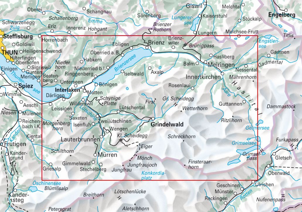
04 Jungfrau Region, Grindelwald 1:50'000 German Edition

Article Number: 978-3-8283-0949-4
Scale: 1:50 000
This product is in stock.
Hiking maps with tour suggestions
A new kind of product: Map at a scale of 1:50 000 with 33 walking tours
Map, guide and pictures – All in One
These hiking maps on water- and tear-resistant paper present attractive suggestions and provide a quick overview of the planned tour. In cooperation with Geo-Tracks, we have incorporated everything worth knowing about the most beautiful hiking regions in Switzerland into these maps: Important information about altitude profiles, hike times, restaurants, buses and much more!
Free shipping in Switzerland*
20% discount for 3 items
* Except for bulky good deliveries (posters)
Digital maps
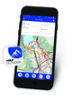
PLAN, DISCOVER, EXPERIENCE - on the web and mobile!
Download our HKF Outdoor App!
Navigator
More than 1000 Web-Sites in 47 countries! Listing of important European Web-Sites supporting your planning and booking of journeys.