
Regionalkarten Kümmerly+Frey
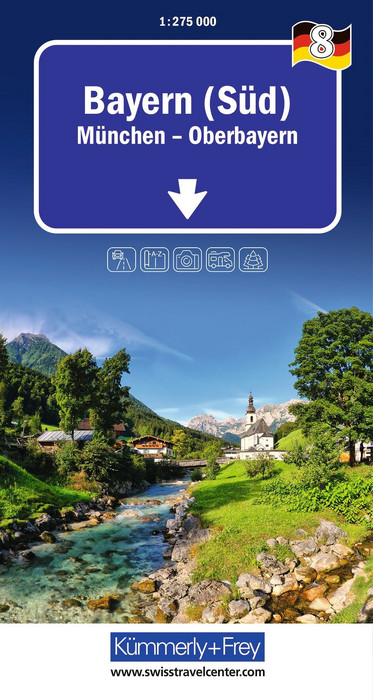
Germany, Bavaria (South), No. 08, Regional Map 1:275'000

Article Number: 978-3-259-30067-1
Scale: 1:275 000
This product is in stock.
In the Kümmerly+Frey road map of Bavaria (South), Munich – Upper Bavaria at a scale of 1:275,000, you will find everything you need for orientation and inspiration.
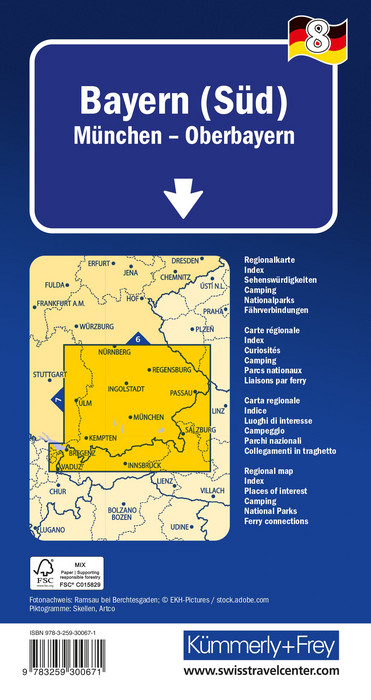
The map shows the most important areas of interest, from Nuremberg, Regensburg, Augsburg and Munich to Lindau, Salzburg, etc. Thanks to clearly marked, easy-to-read and up-to-date roads, a clean and modern cartographic design, and a high level of detail, this map is the perfect tool to make the most of your visit to this extraordinary region.
The thematic map provides detailed information on towns and the connecting road network. Travelers by car or motorcycle will always find the right way thanks to the clearly recognizable and well-structured depiction of motorways, expressways, main roads, country roads, and secondary roads. The integrated local index, marked tourist routes, as well as national parks and sights, complete the map product.
The folded map for drivers and motorcyclists is printed on a laminated, robust, largely water-resistant and tear-resistant paper. Even after repeated use, it remains reliable.
If your GPS fails or your phone runs out of battery, the clearly marked roads, viewpoints, railway stations, places to eat, campsites, parking areas, etc., will always help you stay oriented.
About Hallwag Kümmerly+Frey
At Hallwag Kümmerly+Frey, our goal is to inspire people to explore the world. Our road maps, city maps, hiking maps, cycling maps, and more stand out for their up-to-date content, highly accurate cartography, well-researched routes, and a clear layout to ensure that both planning and the journey itself are a success. Start your adventure well prepared with us!

Your benefit
- 20% autumn discount on orders of 3 or more items (excluding wall maps and special production) from 1 to 31 October 2026
(the discount is automatically applied to orders of 3 or more items)
- Free shipping within Switzerland for 2 or more items*
* Excludes bulky items (posters, wall maps)
No shipping to the USA
Due to current customs regulations, shipping to the USA is unfortunately not possible at the moment for cost reasons.
Thank you for your understanding.
Not found the right product?
Browse our extensive range – you’re sure to find the perfect one.