
Welt- und Kontinentkarten Kümmerly+Frey
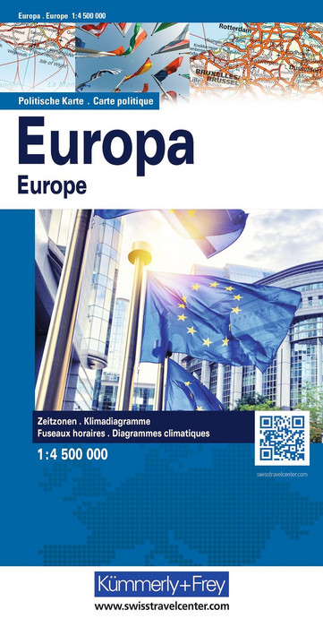
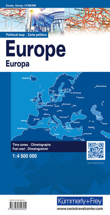
Europe map, political map 1:4.5 million

Article Number: 978-3-259-30030-5
Scale: 1:4 500 000
This product is in stock.
In the fold-out Europe Political Map 1:4.5 million, Europe is depicted with its countries clearly highlighted in different colors.
The map includes all countries of the continent, such as Switzerland, Germany, France, Italy, and more.
Thanks to the clearly marked country borders and color coding, national boundaries are easily recognizable at a glance. With precise border lines and carefully crafted cartography, this fold-out map is an essential tool for students, teachers, and anyone interested in international affairs.
In addition to the color-highlighted countries, the map also features their capitals and other major cities. All place names and the legend are provided in four languages.
Measuring 13 x 25 cm, the fold-out map is ideal both for educational purposes and as a decorative piece.

Your benefit
- 20% autumn discount on orders of 3 or more items (excluding wall maps and special production) from 1 to 31 October 2026
(the discount is automatically applied to orders of 3 or more items)
- Free shipping within Switzerland for 2 or more items*
* Excludes bulky items (posters, wall maps)
No shipping to the USA
Due to current customs regulations, shipping to the USA is unfortunately not possible at the moment for cost reasons.
Thank you for your understanding.
Not found the right product?
Browse our extensive range – you’re sure to find the perfect one.