Highlight for alpine hikers
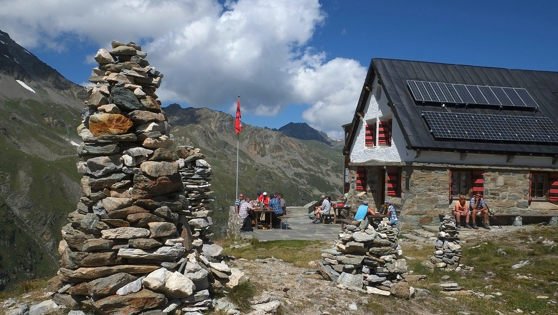
An alpine to high alpine summit tour on mountain paths through rubble and in places secured rocky terrain, which requires alpine experience, surefootedness and a head for heights (T3 to T4 demanding mountain hiking / alpine hiking). The Barrhörner between the Turtmann and Mattertal valleys are among the highest peaks in the Alps, which can be reached without climbing or ice equipment if conditions are good. The day before, ascent from the Turtmann Valley to the Turtmannhütte of the SAC (overnight stay).
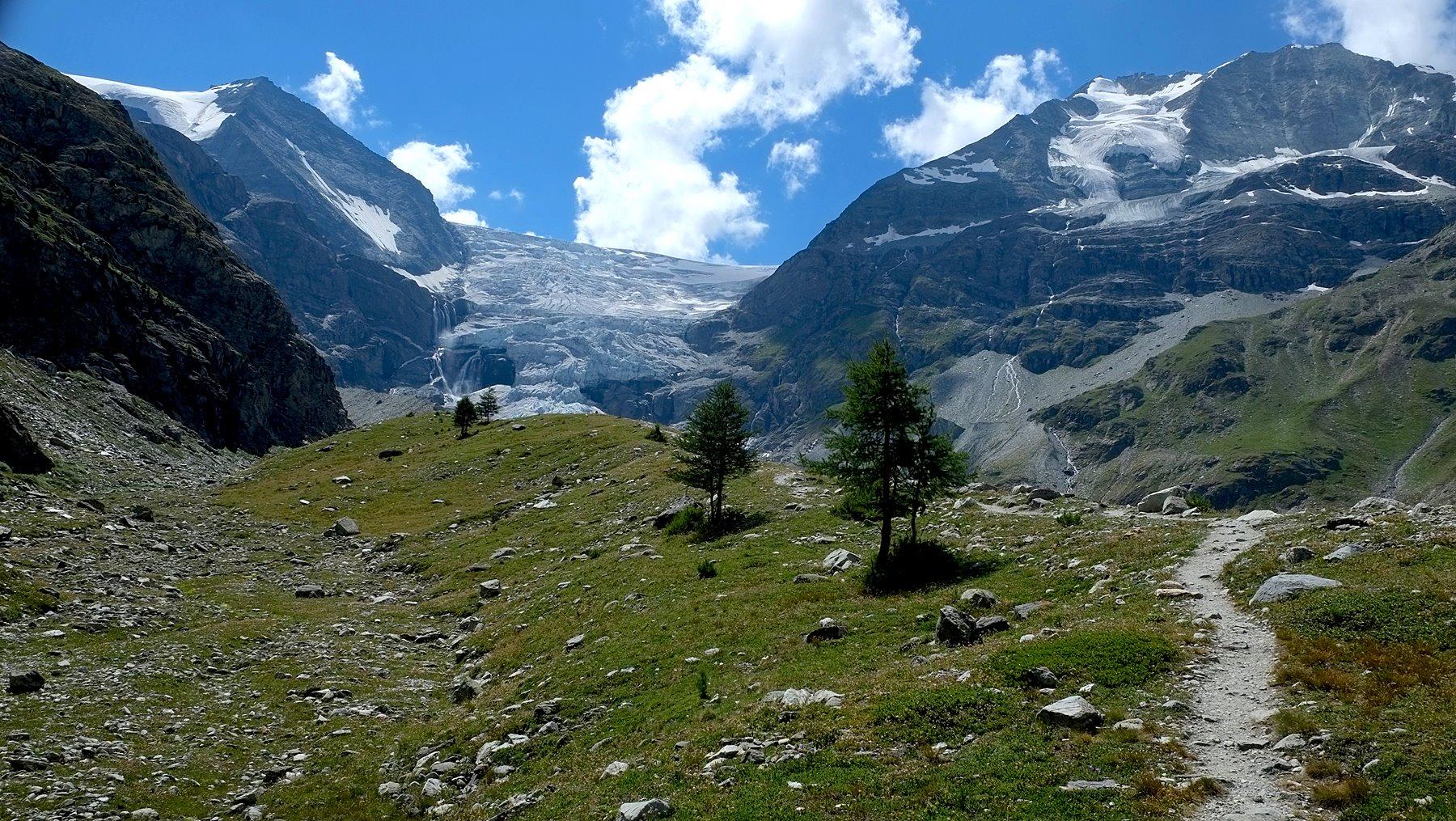
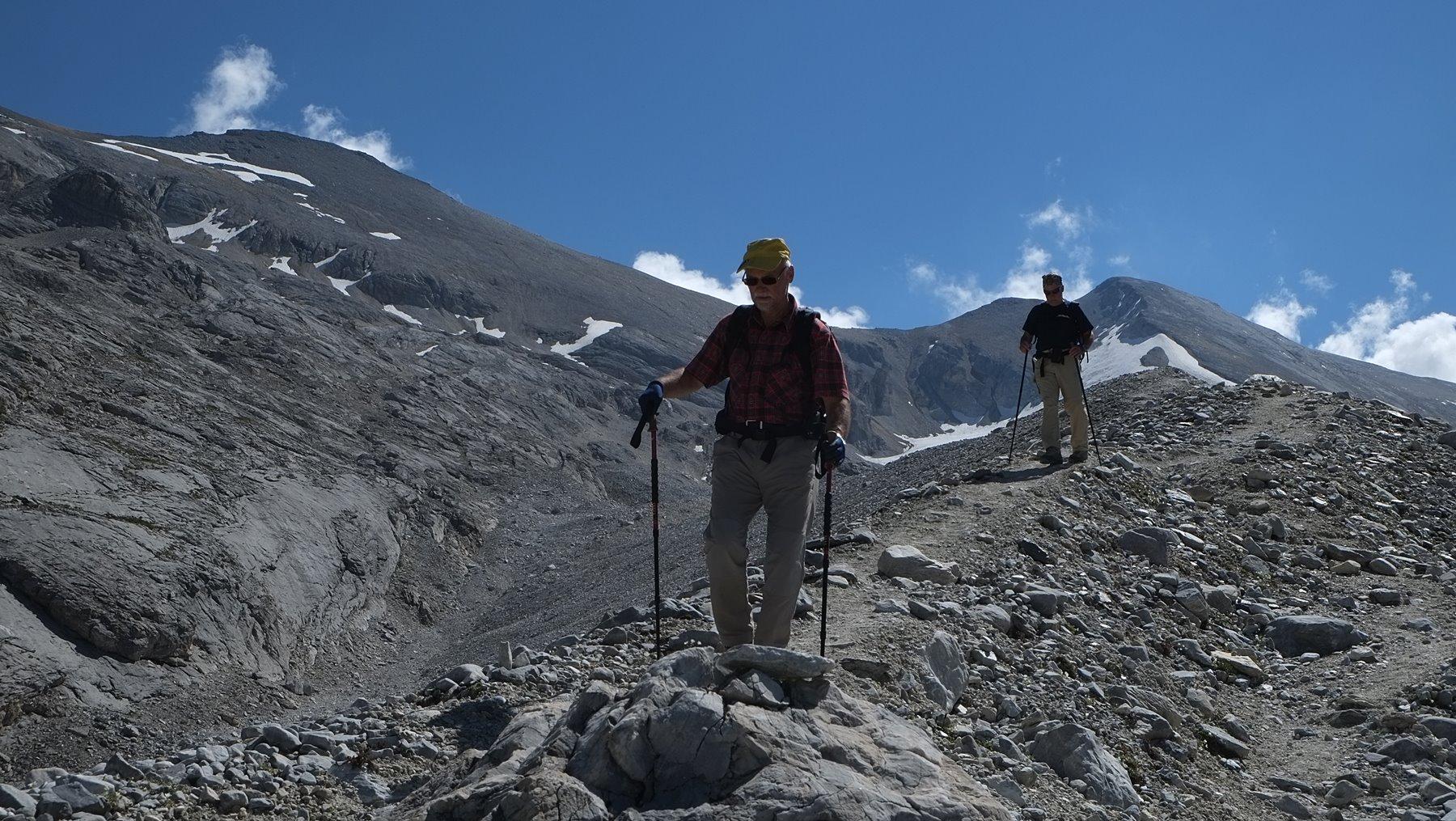
From the Turtmannhütte the white-red-white signalled route leads through the grass and scree slopes high above the Bruneggbach to a spring at the foot of the rock faces. From there the route ascends in a steep zigzag through the scree in the "Gässi" (2640m) and soon turns right into the well-stepped rock face where steel cables and iron steps lead safely upwards. After the turn-off to Cabane de Tracuit (high alpine route) we walk next to and on the crest of the lateral moraine straight uphill.
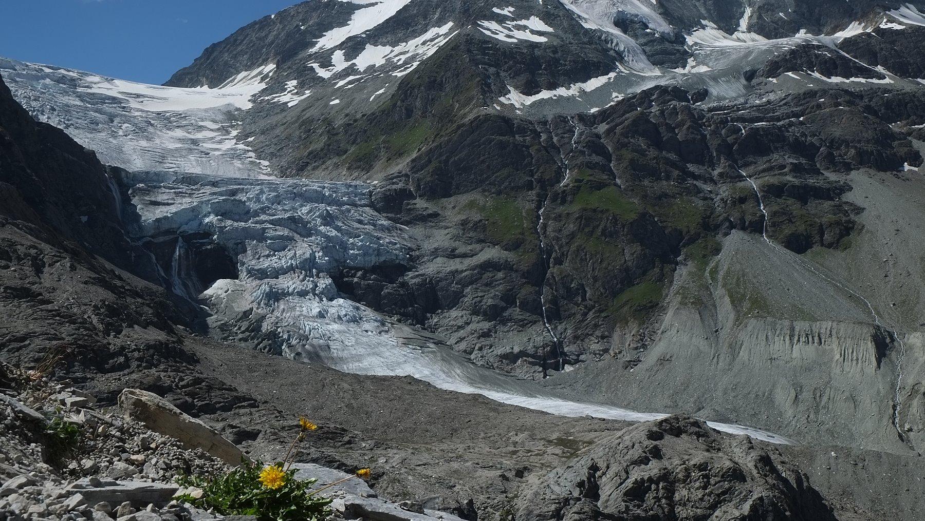
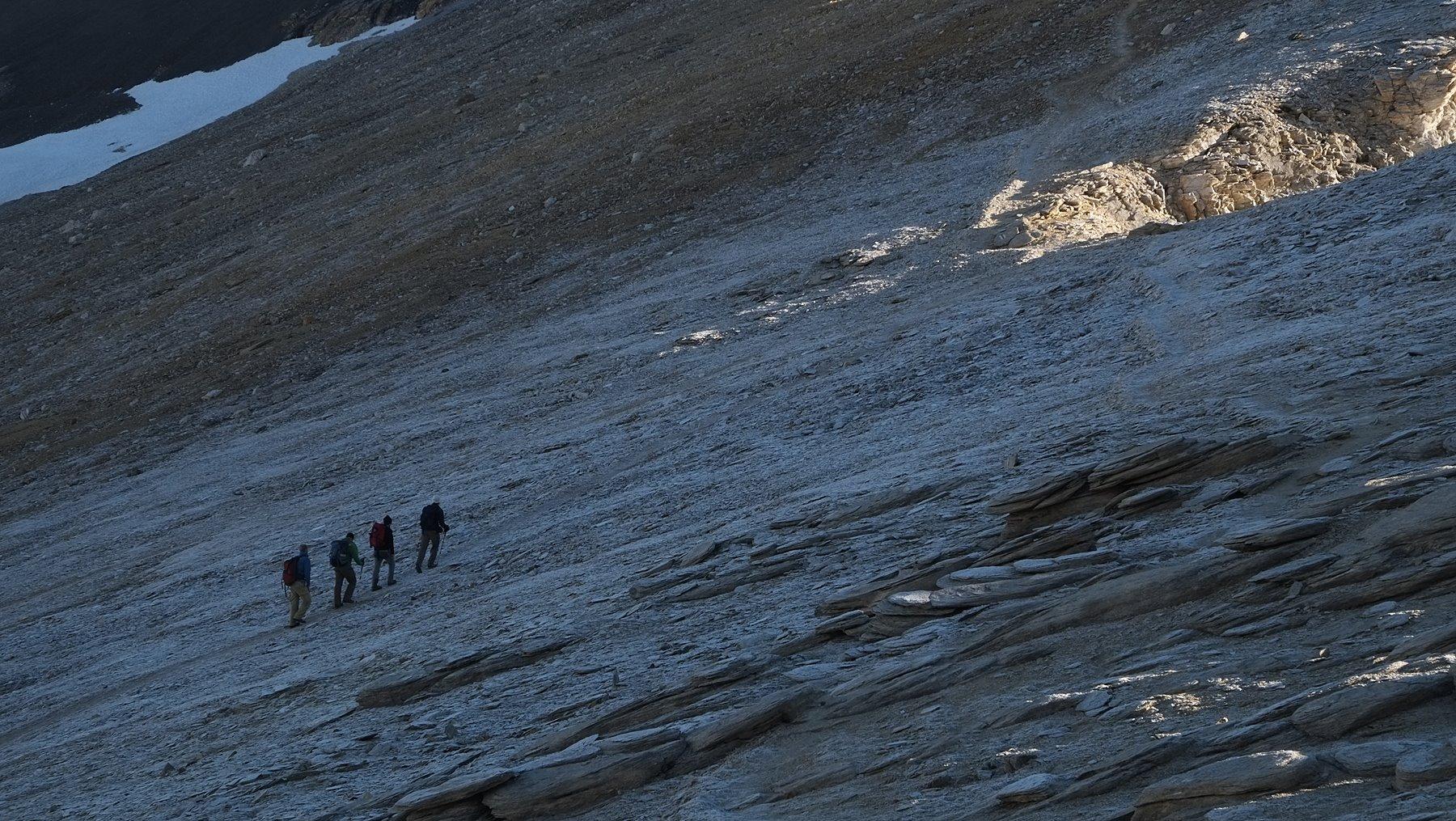
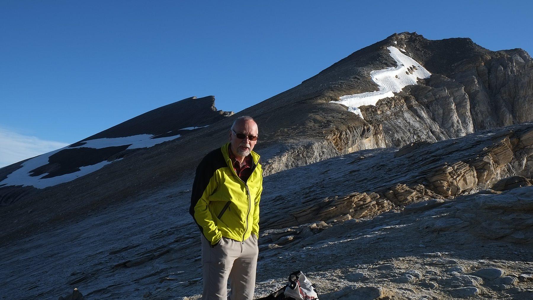
At about 3100m the trail divides: On the left, the path leads directly to the Üsseren Barrhorn - 600m altitude difference through steep, small splintered scree flanks, where treacherous snow fields can be found until summer. Safer is the right route, which - also through a lot of rubble, but a little less rapid - climbs to the Schöllijoch (3342m). First views to the Schölli glacier in the depth and to the Mischabel opposite.
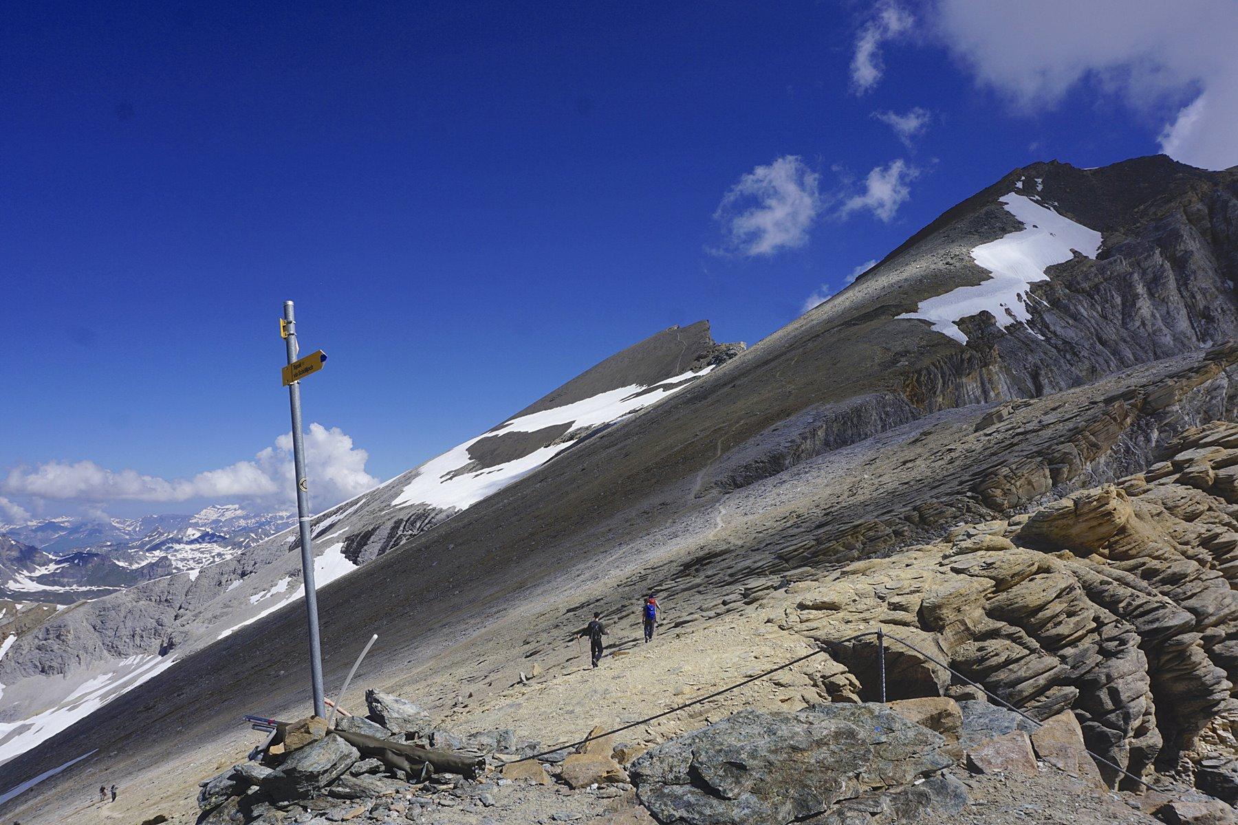
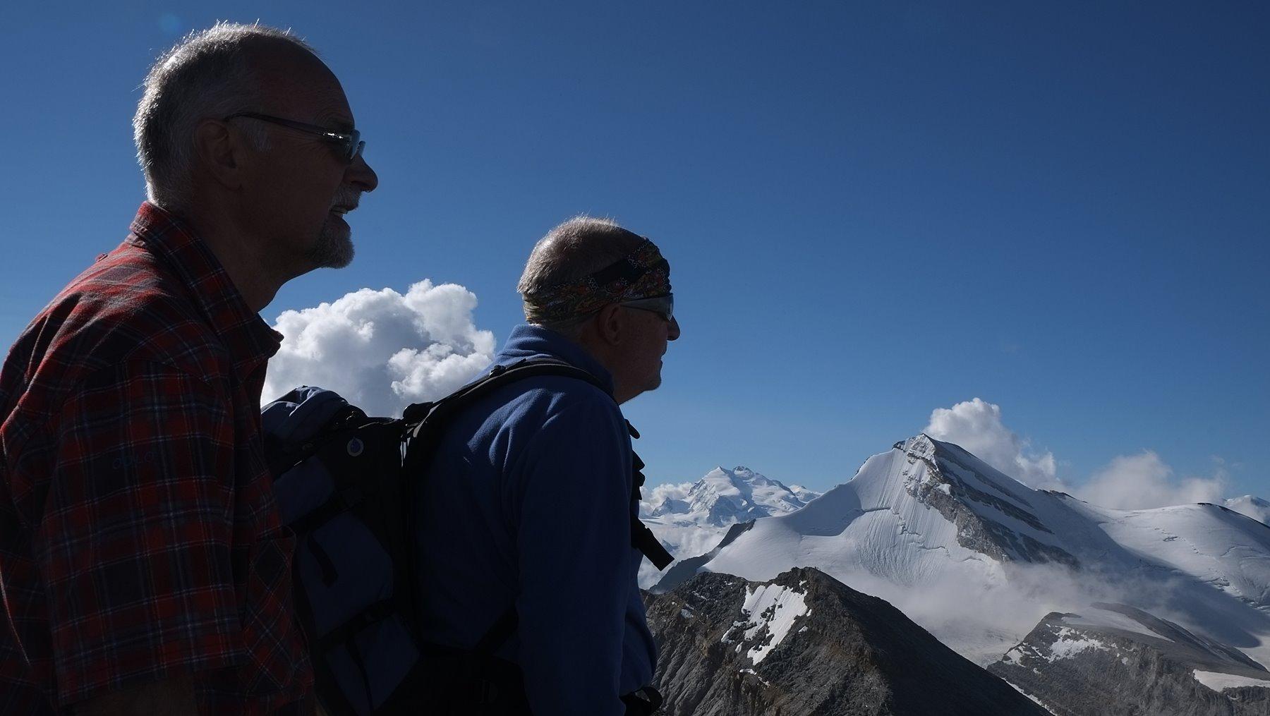
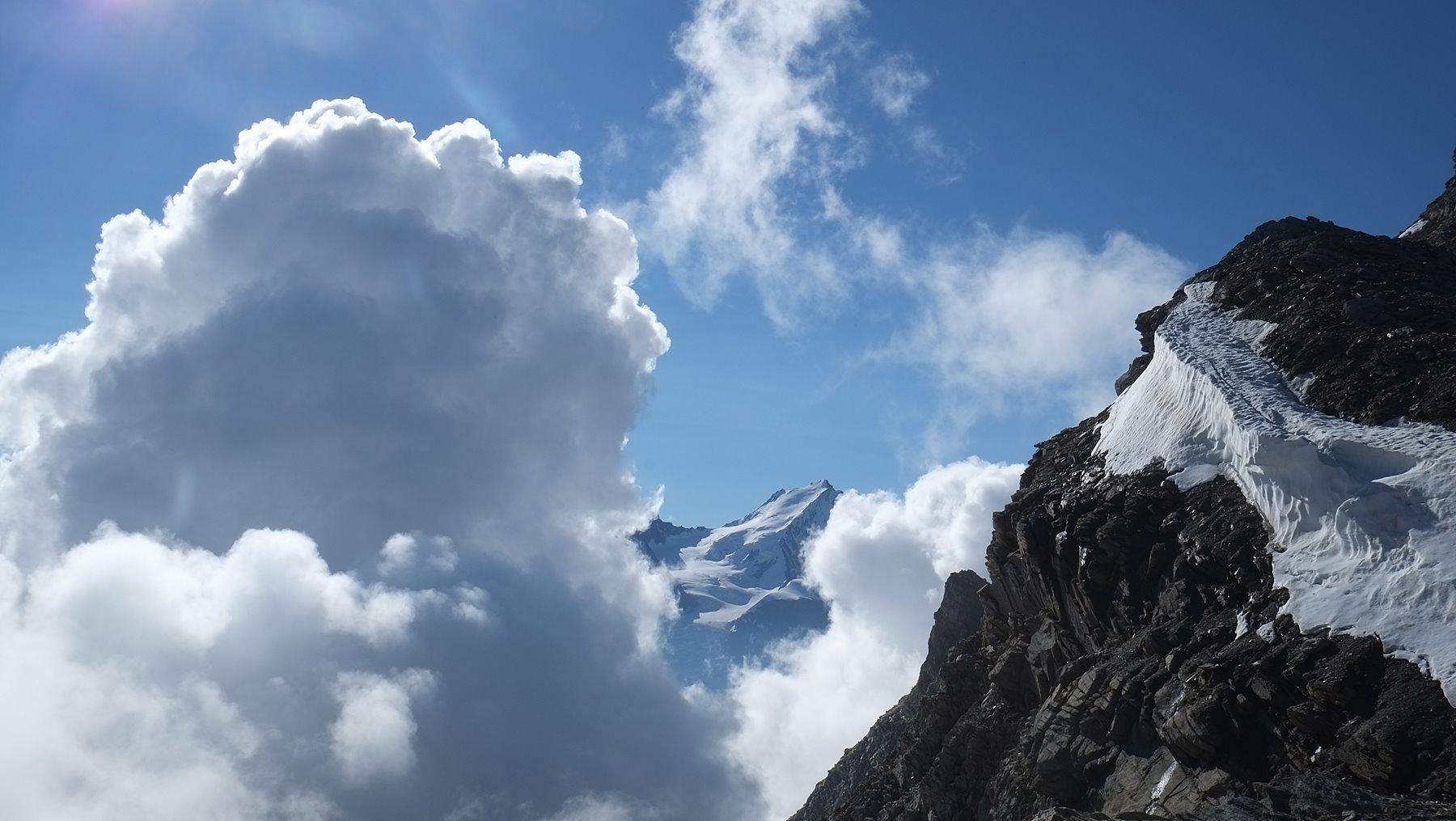
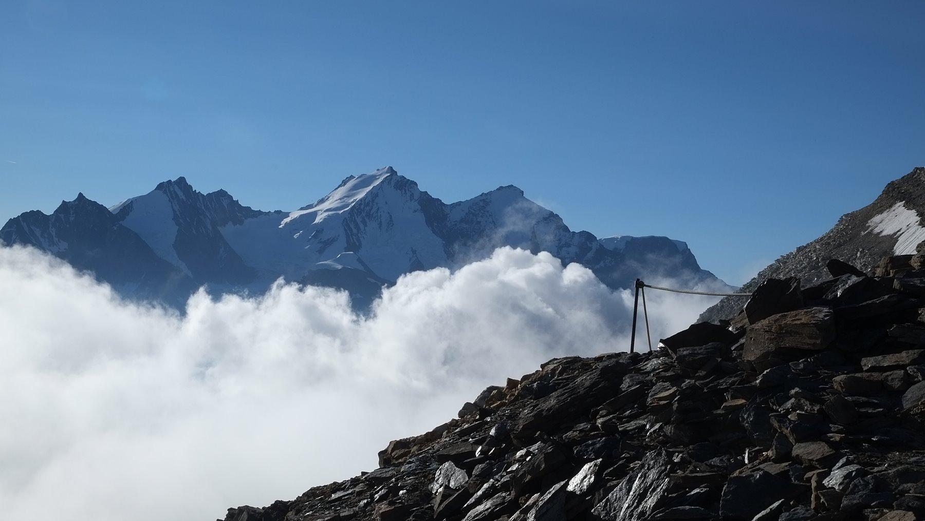
Here (or a little bit before) one turns left, striving through the sloping scree on its western side towards the cliffs of the Barrhörner. With each height meter, the panorama expands, that now also includes the Monte Rosa and further to the right the Mont Blanc - only the Matterhorn is hidden behind the Weisshorn.
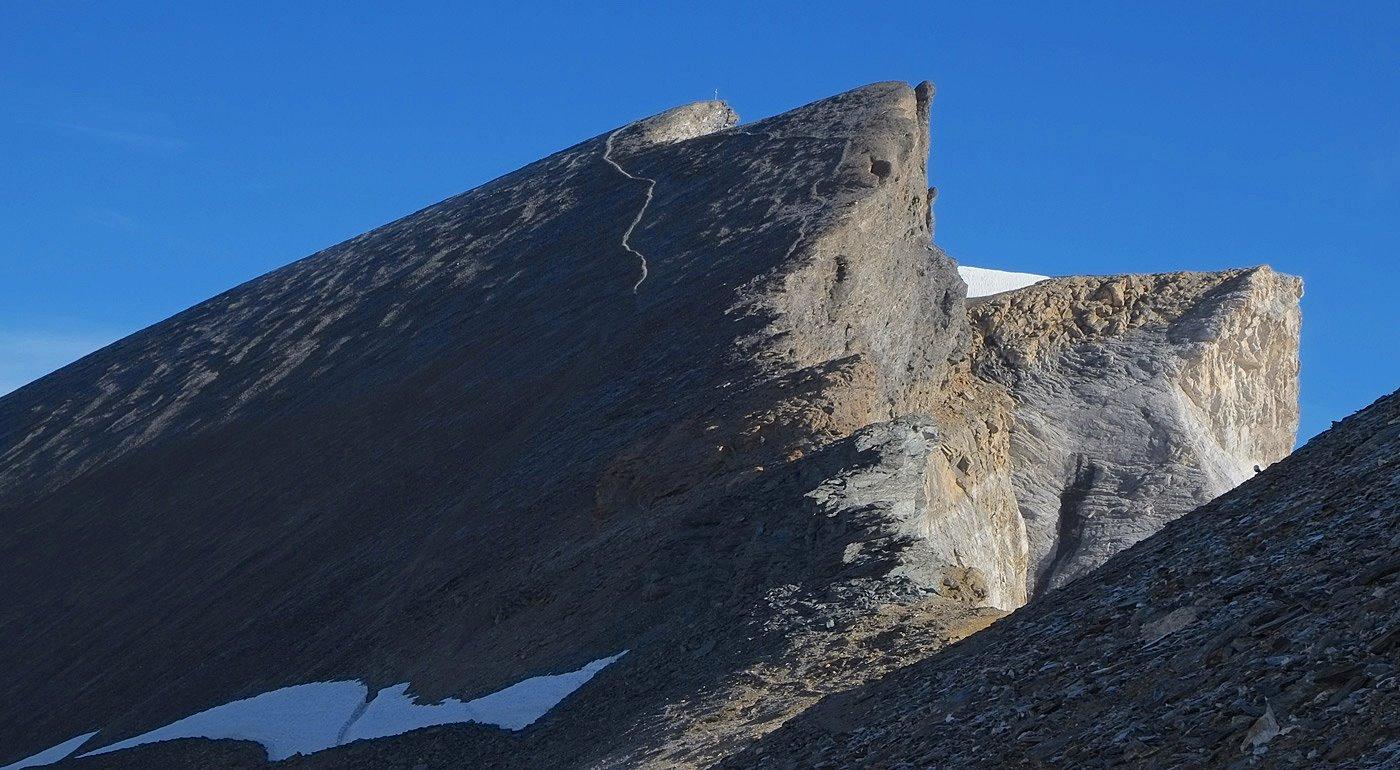
We bypass the Inner Barrhorn (3583m) on the left. From the saddle between the two peaks we look down to the Undere Stelli Glacier. Finally, we pass under a pre-peak on the left until we reach the metal cross on the Outer Barrhorn (3610m) through steep, slippery scree.
For the descent, it is best to take the ascent route, unless the direct path to the point 3090m is almost snow-free and you feel safe on the small splintered path.